
Services
ABOUT
Hydrographic & Water Resource Survey
A Hydrographic Survey is a specialized surveying method focused on measuring and mapping underwater features and water bodies such as seas, rivers, lakes, and reservoirs. It involves determining water depth, seabed shape, and the physical and chemical characteristics of aquatic environments.
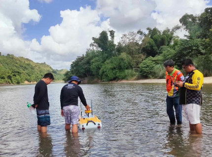
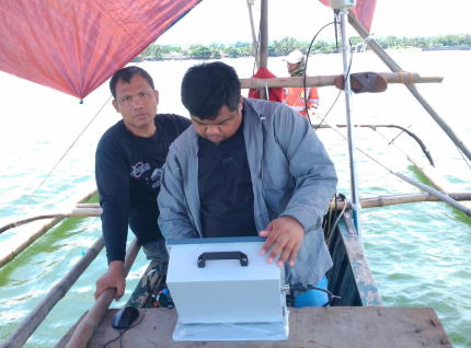
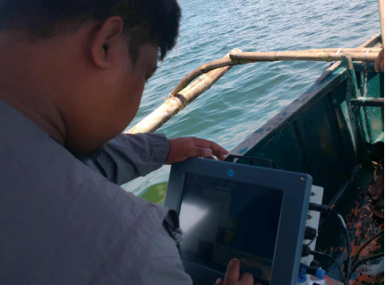
Our Hydrographic and Water Resource Solutions provide precise mapping and analysis of bodies of water, coastal zones, and underwater terrain. We deliver detailed data essential for navigation safety, flood management, and infrastructure planning near rivers, lakes, and coastal areas.
Through advanced hydrographic surveying and geospatial technologies, we help clients monitor water depth, sediment movement, and shoreline changes — supporting sustainable water resource management and environmental protection.