
About Us
ABOUT US
Who we are
Tecphil Surveying and Mapping Services began its journey in 2022 as a specialized unit under Tecphil Geosolutions Co. (TGC), initially focused on providing special training and technical assistance for TGC clients. As the surveying industry evolved, with increasing demand for more innovative, and large-scale solutions, we expanded our scope to conduct specialized and advanced surveys, ensuring efficiency and precision in geospatial data collection for our clients.
With the integration of latest equipment and innovative methodologies, we continuously enhanced our capabilities—delivering comprehensive, accurate, and flexible data through streamlined processes that optimize usability and manipulation. We work with our clients closely to ensure that their requirements are met, and their demand are satisfied.
In early 2025, Tecphil Surveying and Mapping Services was officially registered as an independent entity, allowing us to extend our expertise to a broader range of sectors. Today, we serve not only our TGC clients, but we are trying to reach a wider range of customers in the private and government sectors.
Since our inception, we have been unwavering in our commitment to effectiveness, accuracy, and innovation in surveying and mapping. By harnessing the latest advancements in technology, we continue to set new industry standards—offering a faster, more precise, and cost-effective alternative in the market. Our tailored solutions are designed to meet the diverse needs of our clients, ensuring superior results and efficiency in every project.
At Tecphil Surveying and Mapping Services, we are committed to excellence and leadership in modern geospatial solutions. Combining the latest technology with industry expertise, we deliver highly accurate surveying and mapping services that empower industries
"To deliver innovative, reliable, and affordable surveying and mapping solutions, backed by exceptional customer service and technical expertise."
"To be the leading provider of surveying, mapping, and engineering solutions in the Philippines by 2030."
Property Surveys. Relocation, subdivision, and boundary determination to support land titling, ownership verification, and legal documentation.
"To be the leading name in geodetic surveying and mapping in the Philippines."
We envision TecPhil as a trusted partner in nation building, driving progress through accurate data, innovative solutions, and advanced technologies. By upholding excellence and integrity, we aim to shape a future where every project is built on a foundation of precision and reliability.
WHY CHOOSE US?
Top Working Process
Our process is built on trust and accuracy, making sure every project is handled with care from start to finish.
Accurate & Reliable Results
We deliver precise data using advanced tools and proven methods.
Experienced Professionals
Our skilled team ensures every project meets the highest standards of quality and efficiency.
Client-Focused Service
We prioritize your goals, providing transparent communication and on-time project completion.
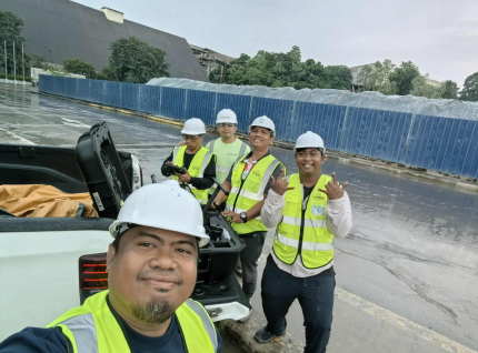
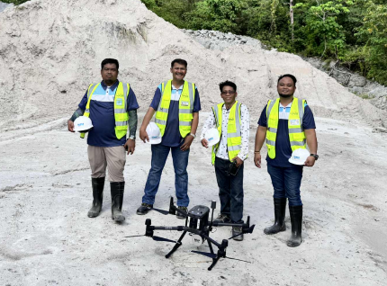
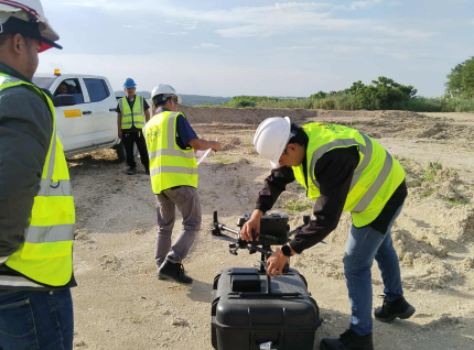
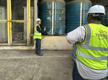
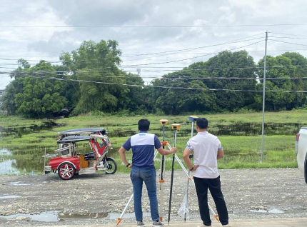
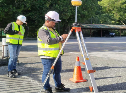
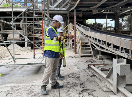
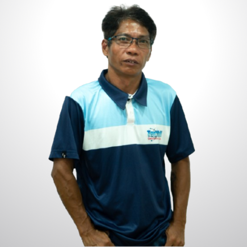
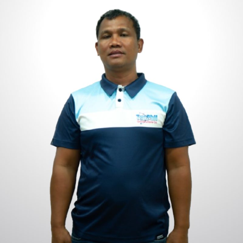
OUR TEAM
Meet our team
Our skilled engineers and surveyors work together to deliver precise, reliable, and innovative geodetic solutions.


WHAT WE SPECIALIZE IN
Surveys We Specialize In
We conduct a full range of land and infrastructure surveys providing accurate, efficient, and data-driven results for every project.
Topographic Survey
Provides detailed mapping of land elevations, features, and terrain used for design and land development.
LiDAR Survey
Our team specializes in route alignment and profile surveys to support the design and construction of infrastructure projects.
Bathymetric Survey
Measures underwater depths and seafloor features to produce detailed maps for marine and coastal development.
Subdivision Survey
Divides large parcels of land into smaller lots in accordance with development plans and government land regulations.
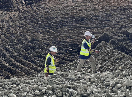
Volume Calculation
Measures and maps underwater features, depths, and tides to support ports, bridges, and coastal infrastructure planning.
Aerial LiDAR Survey
Captures aerial images and surface data using drones to produce high-resolution maps for analysis and project planning.
Tunnel LiDAR Survey
Transfers design plans to the field with precision, ensuring correct positioning and elevation of structures on-site.
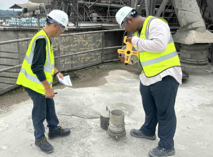
As-Built Survey
Records the actual location and elevation of completed works to verify compliance with approved design specifications.
Agricultural Survey
Provides accurate mapping and elevation data for efficient land-use planning, farm layout, and development projects.
WHO WE SERVE
Industries we Serve
We conduct a full range of land and infrastructure surveys providing accurate, efficient, and data-driven results for every project.
Construction
Engineering
Mining
Land Development
Architecture Design
Government & Academe
Work with a surveying team you can trust.
Whether it’s land development, infrastructure, or engineering projects, our team is ready to provide precise and reliable geodetic surveying services.
Contact Us NowContact Us
Address
- Office
- Bagay Road, Tuguegarao City, Philippines