
Services
ABOUT
Structural Survey and Mapping
Structural Survey and Mapping focus on the precise assessment, documentation, and analysis of existing structures to ensure safety, stability, and compliance with engineering standards. These surveys provide detailed insights into the geometry, integrity, and condition of buildings, bridges, and other constructed assets—supporting renovation, restoration, and maintenance planning.
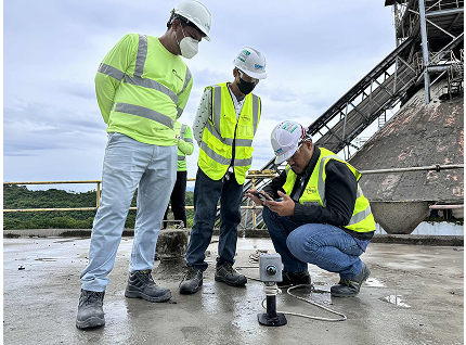
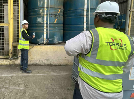
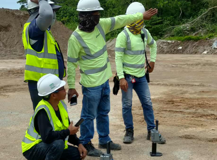
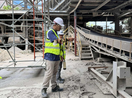
We utilize advanced technologies such as 3D laser scanning, photogrammetry, and total station measurements to capture highly accurate structural data. Our mapping outputs enable engineers and architects to visualize, analyze, and model structures in detail, reducing uncertainties and enhancing decision-making in design and rehabilitation works.
By integrating modern mapping techniques and digital modeling, we help clients maintain the integrity of built environments, identify potential structural issues early, and extend the lifespan of critical infrastructure.
Work with a surveying team you can trust.
Whether it’s land development, infrastructure, or engineering projects, our team is ready to provide precise and reliable geodetic surveying services.
Contact Us Now